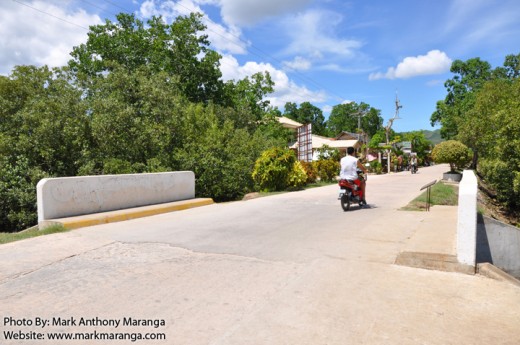
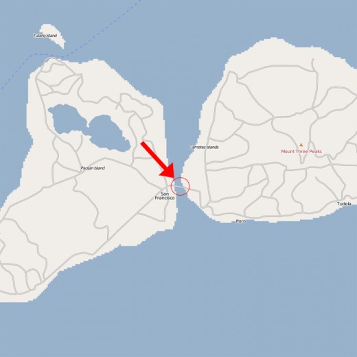
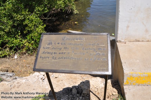
One of the less interesting spots for those who haven’t really researched about Camotes is the Causeway. It is a 1.4 kilometer road that is raised above water or marshland or sand built during the 17th century when Sulangan was a “visita” (visitor) of Poro before its establishment as a Parish.
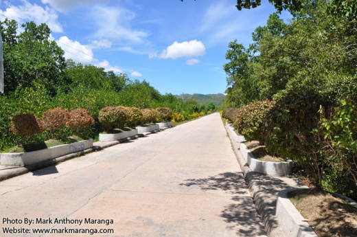
On the eastern side of the Causeway is Poro Island while the western side is the Pacijan Island. These are the two main islands of Camotes in the Philippines. Other islands are Ponson Island and Tulang Island. The Causeway is the main link that connects the two main islands for easy transport. The roadside is decorated with beautiful plants established on concrete flowerpots and the dense mangroves covers most of the visible area of the sea. These plants and other beautification are part of the government’s effort to preserve the natural look and feel of the Causeway.
This page is last updated on


 Mark Anthony Maranga is an Educator-Parent to his 3 Homeschooling Kids. He sells


